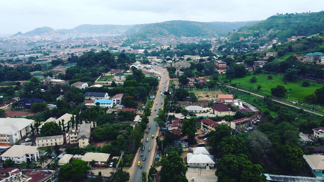
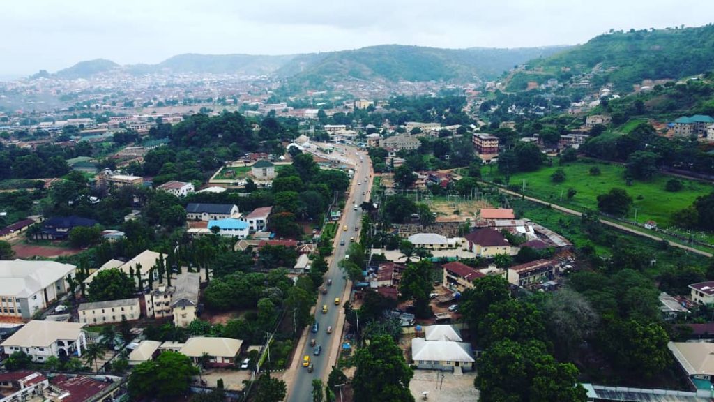
The Igbo etiti local government area is located in Nigeria’s southeast geopolitical zone in the Enugu state. The local government area (LGA) is made up of a number of towns and villages, including Ikolo, Onyohor, Ukehe, Udueme, Aku, Ekwegbe, Ohemje, Diogbe, and Umunko. The LGA’s administrative center is located in the town of Ogbede. The LGA is expected to have 169,731 people living there, with the bulk of them belonging to the Igb ethnic group.
Christianism is the most extensively practiced religion in the LGA, and the Igbo language is widely spoken there. The Odo Masquerade, Ahajioku, and Mgboko-odobo celebrations are only a few of the vibrant traditional holidays observed in Igbo etiti LGA.
The overall area of Igbo etiti LGA is 325 square kilometers, and the average annual temperature is 27 degrees Celsius. The area experiences the dry and wet seasons, which are the two main seasons, with an average annual rainfall of 1900 mm in the LGA. In Igbo etiti, the average wind speed is 10 km/h.
Farming is a significant economic activity in the Igbo etiti LGA, where crops including yam, cassava, kolanut, and cocoyam are produced in significant amounts. The LGA is home to a number of marketplaces where a range of goods are purchased and sold, contributing to the region’s booming trade. In the Igbo etiti LGA, woodworking, craftsmanship, and the production of palm wine are other significant economic activity.
The following wards exist in Igbo Etiti:
Aku I
Aku Ii
Aku Iii
Aku Iv
Aku V (idueme)
Diogbe/umunko
Ejuoha/udeme
Ekwegbe I
Ekwegbe Ii
Ikolo/ohebe
Ohaodo I
Ohaodo Ii
Onyohor/ochima/idoha
Ozalla I
Ozalla Ii
Ukehe I
Ukehe Ii
Ukehe Iii
Ukehe Iv
Ukehe V